- Item


The Keta Municipal is one of the 261 Metropolitan, Municipal and District Assemblies (MMDAs) in Ghana, and forms part of the 18 of Municipalities and Districts in the Volta Region.
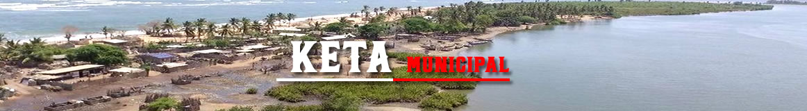
It was carved out of the former Anlo District, which also comprised Akatsi and Ketu Districts. The Municipality lies within Longitudes 0.30E and 1.05E and Latitudes 5.45N and 6.005N. It is located east of the Volta estuary, about 160km to the east of Accra, off the Accra-Aflao main road. Keta Municipal, with Keta the Administrative capital
Out of the total surface area of 1,086km2, approximately 362km2 (about 30 per cent) is covered by water bodies. The largest of these is Keta Lagoon, which is about 12 km at its widest section and 32km long. Hence, the remaining land area is only 446km2 a situation which creates severe constraints on access to land for development in the municipality. However, fishing and water transportation potentials exist.
It shares common borders with Akatsi South Municipal to the north, Ketu South Municipal to the east, South Tongu District to the west and the Gulf of Guinea to the south.
The population of the Municipality according to 2021 population and housing census stands at 78,862
with 36,986 males and 41,876 females.


Local Gov Ministry
Int of Local Gov Studies
Ministry of Information
Local Gov Service
Ghana MPs
Ghana Hospitals
NALAG
 facebook
 twitter
 Youtube
 +233 593 831 280
+233 20 230 9497
+233 593 831 280
+233 20 230 9497 0800 430 430
 GPS: GE-231-4383
 info@ghanadistricts.com
 Box GP1044, Accra, Ghana