- Item
AGRICULTURE
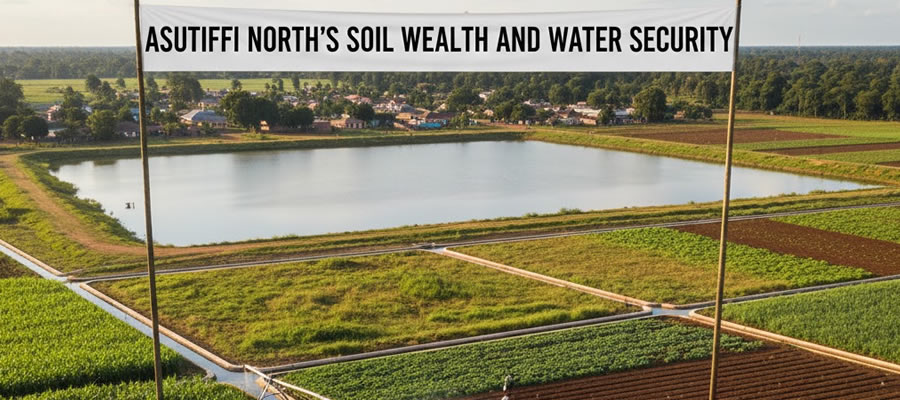
Asutifi North’s Soil Wealth and Water Security
Date Created : 2/18/2026 : Story Author : Ernestina Mensah/Ghanandistricts.com
With elevations ranging from about 650 to 1,400 feet, the district sits on a watershed that feeds the Tano River and its tributaries, supporting year-round water flow and fertile soils that fuel farming, livelihoods, and local infrastructure initiatives.
The district’s low-lying to gently undulating terrain forms a robust watershed backbone. Mountainous ridges in the northeast create catchment areas that feed multiple streams, helping to regulate water during rainy seasons and reduce flood risk in surrounding communities. This natural drainage system is a critical asset for agriculture, household water security, and rural development projects across Asutifi North.
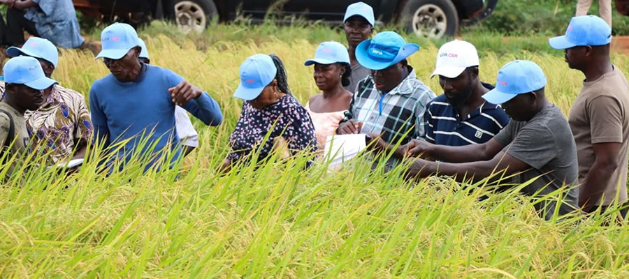
Key rivers—the Tano and its perennial tributaries such as Goa, Ntotro, Subri, Asundua, and Apensu—snake through the district in a dentric (branched) pattern. This interconnected network ensures reliable water access for irrigation, livestock, and domestic use, while also supporting biodiversity and ecosystem services that bolster climate resilience in the face of changing weather patterns.
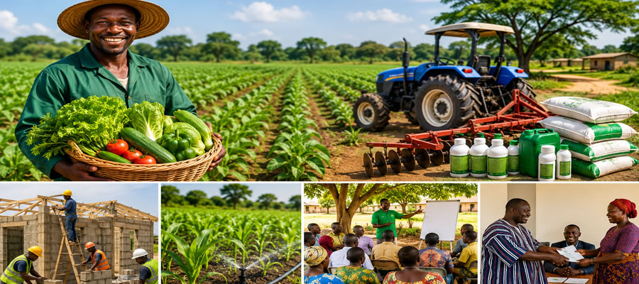
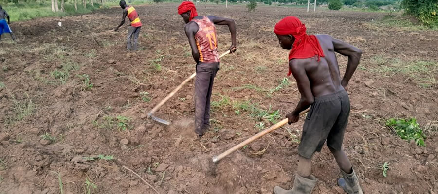
Soil science enthusiasts note that Ochrosols dominate the district, characterized by high humus content and strong fertility. This soil type provides a rich foundation for crops, supporting higher yields and more resilient farming systems. When paired with the district’s varied geology—encompassing Kumasi, Asuansi-Kumasi Offin, Hwidiem, Akumadan-Bekwai Oda, and Birim-Awaham/Chechewere Kakum associations—Asutifi North has a diverse soil portfolio that can accommodate a range of crops, from staples to high-value horticulture.
Implications for development and resilience can be made possible through agriculture with fertile Ochrosols and dependable river flow to enable stable crop production, potential diversification, and opportunities for improved input access and water management.
Understanding elevation and drainage patterns through infrastructural planning can helps in designing effective drainage systems, flood control, and resilient roads and housing that withstand seasonal shifts.
By protecting watershed areas reduces soil erosion through environmental stewardship, groundwater recharge, and preserves biodiversity essential for long-term productivity is sustained. However, Local planners, farmers, and engineers are likely to emphasize soil- and water-centric development strategies.
Other Stories


Local Gov Ministry
Int of Local Gov Studies
Ministry of Information
Local Gov Service
Ghana MPs
Ghana Hospitals
NALAG
 facebook
 X
X
 Youtube
 instagram
 whatsapp
 +233 593 831 280
+233 20 230 9497
+233 593 831 280
+233 20 230 9497 0800 430 430
 GPS: GE-231-4383
 info@ghanadistricts.com
 Box GP1044, Accra, Ghana