The Eastern Region lies between latitudes 6 and 7 degrees North and longitude 1.30 West 0.30 degrees East. It is the sixth largest region with a land area of 19,323 kilometres square, which is 8.1% of the land area of Ghana (Ghana Statistical Survey, 2005).
The region shares common boundaries with the Greater Accra and Central Regions to the south, to the north by Bono East Region, Ashanti Region to the west, the Volta Lake and Volta Region to the east.
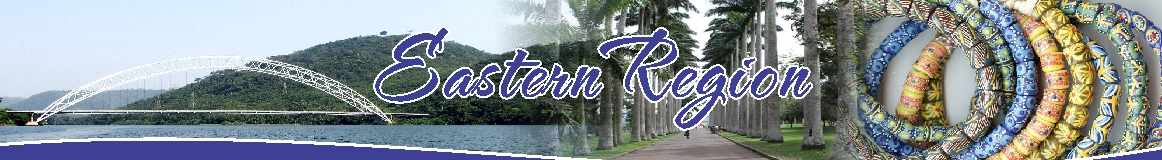
The topography of the region is quite diverse with low lying areas around the valley of the Volta River and Lake and one of the highest reliefs, the Akwapim-Togo- Ranges. The region is well drained with the Volta Lake covering large stretches of the land. By it, transportation is made possible between the southern and northern parts of the country. The suspension bridge on the lake, the Adomi Bridge, is also a major connection between south eastern parts of the country and the Greater Accra region.
The vegetation of the Region is tropical and the rainfall pattern is the double maxima with dry and wet seasons. The cultivation of several food crops and cocoa as well as animal rearing have been major agricultural activities in the Region. The Kwahu North is a major food crop producing area and belongs to the wide stretch of land referred to as the Afram Plains.
Date Created : 10/12/2023 12:00:00 AM


- Region Sublinks
- District Related
- Other Links
- Quick Links
- Saboba: Compensation 2022

 facebook
 twitter
 Youtube
 TOLL FREE 0800 430 430
 +233 593 831 280
 GPS: GE-231-4383
 info@ghanadistricts.com
 Box GP1044, Accra, Ghana