Location and size
The district is located in the eastern flank of the Northern Region and covers an area of about 1090.46440 km sq. It shares boundaries with the Republic of Togo to the east, Zabzugu District to the south, Saboba and Chereponi Districts to the north and Yendi Municipality to the west. The district has nineteen (19) Electoral Areas (EAs). The area councils include Tatale town council, the Kandin/Sheini and Tatindo Area Councils (ACs). The district also has four major peri-urban towns; Tatale, Kuyuli, Kandinand Sanguli with Tatale being the administrative capital. Figure 1 is a map of the district.
Climate
The district experiences two main seasons during the year – the dry and the rainy season. The long severe dry season starts from late October to early May. The dry season is also associated with the harmattan and hot weather. The harmattan weather is characterized by dry winds from the Sahara, and is experienced from November through to February each year. The mean annual maximum temperature ranges between 32oC and 35oC while the mean minimum temperature is between 21oC and 22oC. The rainy season on the other hand spans late May to early October.
Vegetation
The district falls within the Guinea Savanna ecological zone. The vegetation consists of Savannah woodland with economic trees such as Shea Nut, Dawadawa, Teak, Kapok and Mango. There are also tall grasses, shrubs, and thorny tree species. Soils in the district have predominantly high texture surface horizons in which loamy soils are common. Natural vegetation in most parts of the district especially around settlements has disappeared due to over cultivation, over grazing and harvesting for fuel wood without replacement. Beyond the human settlement, the grasses are periodically burnt down during the dry seasons to clear the land for cultivation and sometimes for game hunting. Bush burning has deprived the land of much of the vegetative cover. The district has large tracts of arable land for agriculture. Many rivers flow through the district with the Oti River being the most prominent. A number of streams, dugouts, valleys, hills and mountain are also found at various locations in the district.
Soils
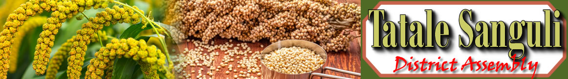
The soil in the district is generally sandy loam with alluvial deposits in the low land areas. Alluvium is a very rich soil which supports the cultivation of yam, cassava, maize, groundnuts, millet, sorghum, rice and other food crops.
Date Created : 11/30/2017 7:25:50 AM


- District Sublinks
- Other Links
- Other Officers
- Downloads
- Saboba: Compensation 2022

 facebook
 twitter
 Youtube
 TOLL FREE 0800 430 430
 +233 593 831 280
 GPS: GE-231-4383
 info@ghanadistricts.com
 Box GP1044, Accra, Ghana